

.svg)
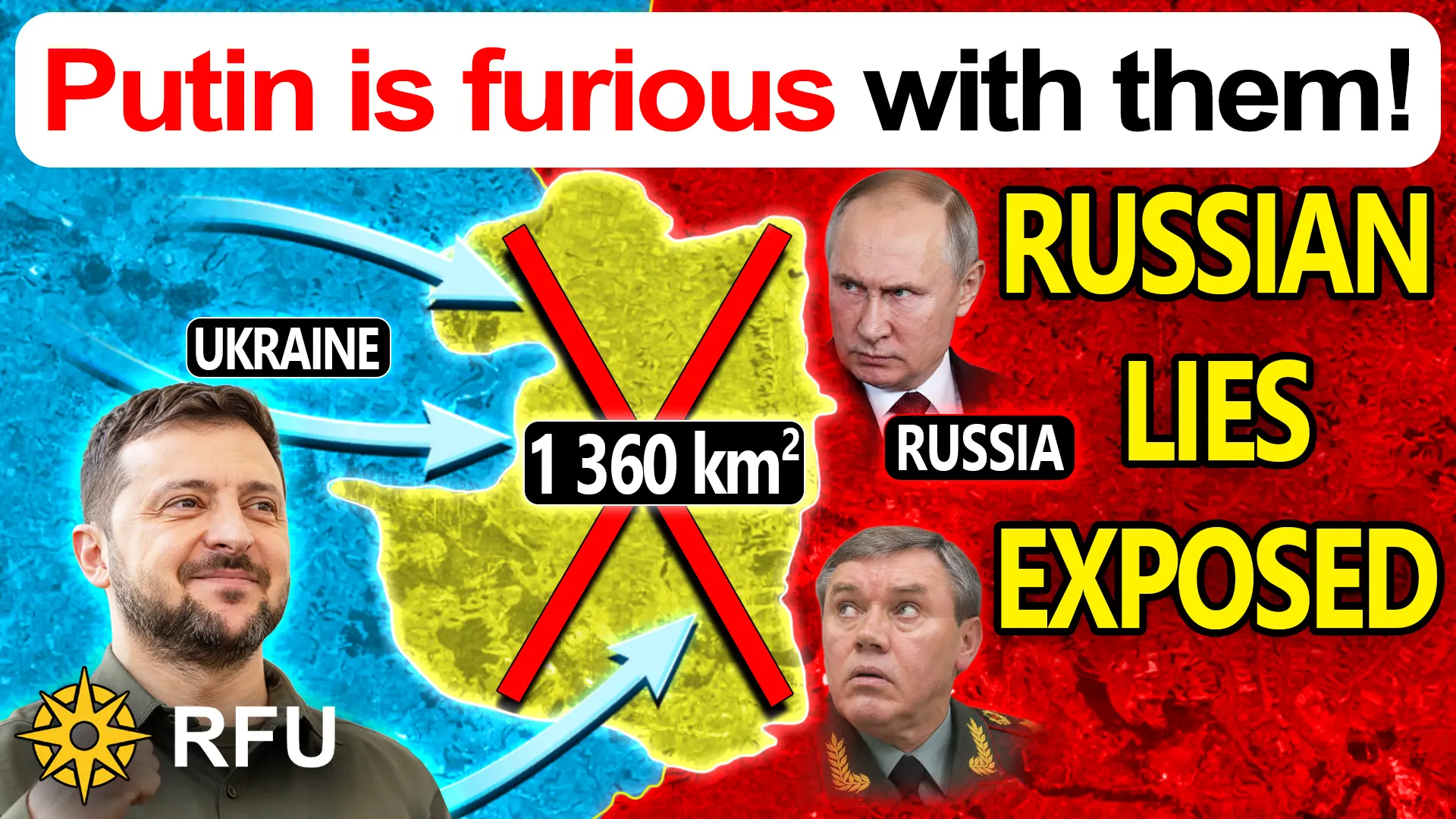
Massive 40 km map scandal exposed as Ukrainian lines advance
In the Lyman operational sector, the Russian military command’s reliance on fabricated territorial control—exaggerated by up to forty kilometers and justified through archival or synthetic media—has institutionalized a critical divergence between operational planning and frontline reality. This distorted reporting directly degrades tactical resource allocation, as headquarters assign artillery support, unmanned surveillance, and defensive reserves to fictional buffer areas rather than genuine points of contact. Ukrainian formations systematically exploit these unmonitored operational vacuums, deploying uncrewed strike platforms and maneuvering through under-defended corridors around settlements like Nove and Ridkodub without encountering integrated resistance. Simultaneously, methodical Ukrainian interdiction against crossing sites along the Zherebets River near Terny establishes severe logistical choke points, exposing repositioning forces and replenishment convoys to continuous drone attrition. Because frontline operational decisions remain chained to political narrative preservation rather than objective tactical realities, the resulting command paralysis structurally compromises the defensive barrier behind the river, heightening the probability of a cascading frontline collapse.




0 Comments